- Like
- SHARE
- Digg
- Del
- Tumblr
- VKontakte
- Flattr
- Buffer
- Love This
- Save
- Odnoklassniki
- Meneame
- Blogger
- Amazon
- Yahoo Mail
- Gmail
- AOL
- Newsvine
- HackerNews
- Evernote
- MySpace
- Mail.ru
- Viadeo
- Line
- Comments
- Yummly
- SMS
- Viber
- Telegram
- JOIN
- Skype
- Facebook Messenger
- Kakao
- LiveJournal
- Yammer
- Edgar
- Fintel
- Mix
- Instapaper
- Copy Link
Typically, most construction projects are performed on land. Many people marvel at the homes, buildings or other structures often created when such undertakings are complete. However, few people take the time to consider the preparation that goes into readying properties for these endeavours. One such preparatory effort is known as land surveying.
Rtkgsurveyequipment.com requests budding civil engineers or those simply interested in the surveying process to continue further to learn about the surveying process, said undertaking’s importance and surveying equipment commonly employed to execute such work.
The Land Surveying Process
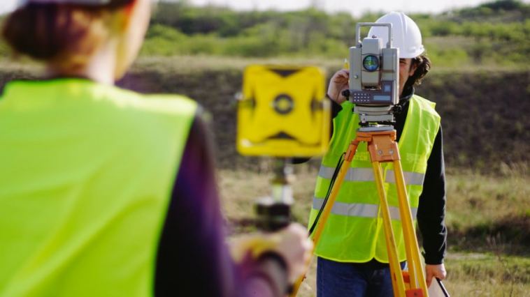
Land surveying is basically defined as garnering precise measurements to establish boundaries and render drawn outlines of various landmasses. The professionals who perform this task are typically highly educated and trained engineers. There are different types of land surveying, such as for:
Construction And Engineering Endeavours
This undertaking is performed to pinpoint exactly where properties begin and end. This is important for the creation of maps and other boundary establishing documents. Said professionals might also be called upon to map out roadways and perform other important tasks like determining measurements crucial to the beginning and completing construction projects.
Examples of such work would be discovering critical land-use issues like a property’s soil depth. Such information is crucial in determining how deep a construction’s foundation could be built. Even the slightest errors could yield disastrous results, such as creating unstable structures and subsequent building collapses.
Establishing Boundaries
This effort involves identifying the specific location where property lines are situated. The data gathered by surveyors is usually entered into the official record in the offices of municipal, provincial, and even federal government land management agencies and often become important pieces of evidence if property disputes emerge.
For example, Homeowner A might wish to construct an extension on land Homeowner B maintains that they own. Established records would resolve which party has the legal claim to said property.
How Is Surveying Work Executed?
The precise measurements needed to perform various surveying tasks are usually attained using branches of math, particularly geometry and trigonometry. Therefore, professional surveyors must have top-notch mathematical skills.
The Surveying Equipment Used In Construction Projects
Fortunately, the process of conjuring these often concise and difficult calculations is expedited through the use of several pieces of technologically-advanced and impressive surveying equipment such as:
Robotic Stations
Robotic apparatuses can help surveyors complete several important duties such as plotting key points and rendering necessary sketches. Additionally, robotic stations can be placed in challenging or dangerous terrain from which data still must be gathered.
Generally, robots speed up the data collection process, which is important for land surveying firms because said entities often face major backlogs and often run into a host of snags and delays.
3-D Laser Scanners
These items are often used by large surveying firms. Though significantly pricey, said apparatuses enable industry professionals to record crucial data and copy important renderings over extremely short durations. This often expedites larger or more complicated projects. Moreover, a scanner possesses the ability to replicate and store crucial information that could be used to confirm findings or resolve conflicts.
GPS Apparatuses
Global Positioning Systems, known to many as GPS devices, are electronic contraptions that help surveyors establish exact locations through the use of satellites.
Levels
Surveyors typically employ two categories of levels, digital and laser. These devices ensure work is being performed on even surfaces, set elevations, or direct specific pieces of construction equipment.
Data Collectors
Surveyors often obtain countless collections of precise data that can occasionally be difficult to keep account of. These devices support all the aforementioned materials and help perform other jobs like storing information and recording key drawings.


